ZCZC MIATWOAT ALL
TTAA00 KNHC DDHHMM
Tropical Weather Outlook
NWS National Hurricane Center Miami FL
800 AM EDT Thu Jul 15 2021
For the North Atlantic...Caribbean Sea and the Gulf of Mexico:
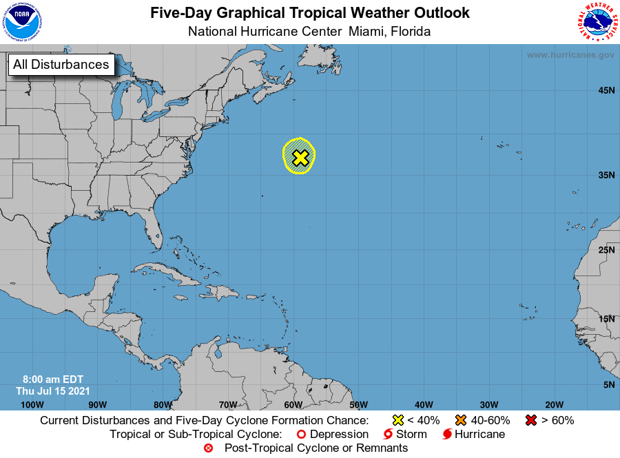
1. Shower activity has increased slightly since yesterday in
association with a non-tropical area of low pressure, located
several hundred miles south-southwest of Cape Race, Newfoundland.
However, environmental conditions are only marginally conducive for
development while the low moves little through tonight. On Friday,
the low is expected to accelerate northeastward and open up into a
trough of low pressure to the south of Atlantic Canada. Additional
information on this system can be found in High Seas Forecasts
issued by the National Weather Service.
* Formation chance through 48 hours...low...10 percent.
* Formation chance through 5 days...low...10 percent.
High Seas Forecasts issued by the National Weather Service can be
found under AWIPS header NFDHSFAT1, WMO header FZNT01 KWBC, and
online at ocean.weather.gov/shtml/NFDHSFAT1.php
Forecaster Latto