ZCZC MIATWOAT ALL
TTAA00 KNHC DDHHMM
Tropical Weather Outlook
NWS National Hurricane Center Miami FL
800 AM EDT Mon Jul 26 2021
For the North Atlantic...Caribbean Sea and the Gulf of Mexico:
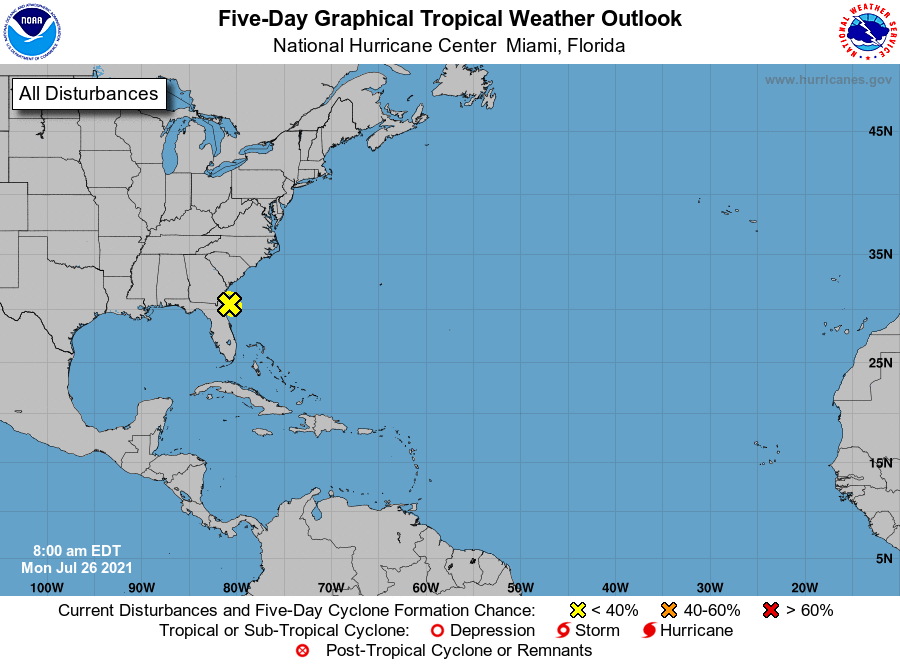
1. Satellite images and radar data indicate that shower and
thunderstorm activity associated with a low pressure system located
a short distance east of Jacksonville, Florida, remains disorganized
and limited in coverage. Development of this system has become less
likely before the low moves inland over northeastern Florida or
southeastern Georgia later today. However, interests in these areas
should continue to monitor the progress of this system due to the
possibility of brief periods of gusty winds and locally heavy
rainfall.
* Formation chance through 48 hours...low...30 percent.
* Formation chance through 5 days...low...30 percent.
Forecaster Pasch