ZCZC MIATWOEP ALL
TTAA00 KNHC DDHHMM
Tropical Weather Outlook
NWS National Hurricane Center Miami FL
500 AM PDT Sat Jun 12 2021
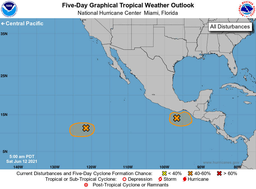
For the eastern North Pacific...east of 140 degrees west longitude:
1. Showers and thunderstorms remain poorly organized this morning in
association with a broad area of low pressure located about a
hundred miles south of Puerto Angel, Mexico. Environmental
conditions appear somewhat conducive for some additional
development, and a tropical depression could still form over the
weekend, as long as the system remains over water while drifting
northeastward. Heavy rainfall will be possible over portions of
Central America and southern Mexico through early next week. See
products from your local meteorological service for more
information.
* Formation chance through 48 hours...medium...40 percent.
* Formation chance through 5 days...medium...40 percent.
2. Showers and thunderstorms have become a little better organized
this morning in association with a broad area of low pressure
located about 1100 miles southwest of the southern tip of the Baja
California peninsula. Environmental conditions appear marginally
conducive for some additional development over the next couple of
days, and a tropical depression could form by early next week while
the system moves slowly westward. Thereafter, conditions are
expected to become unfavorable for further development.
* Formation chance through 48 hours...medium...50 percent.
* Formation chance through 5 days...medium...50 percent.
Forecaster Latto