ZCZC MIATWOAT ALL
TTAA00 KNHC DDHHMM
Tropical Weather Outlook
NWS National Hurricane Center Miami FL
700 PM EST Fri Nov 27 2020
For the North Atlantic...Caribbean Sea and the Gulf of Mexico:
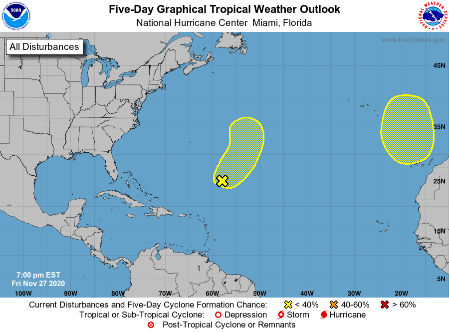
1. A non-tropical low pressure system located more than 500 miles
southeast of Bermuda is producing limited shower activity due
to dry air and strong upper-level winds. Conditions are expected to
remain generally unfavorable for development this weekend as the low
moves northeastward ahead of an approaching frontal system. By early
next week, the system is expected to become absorbed by this frontal
system over the north-central Atlantic.
* Formation chance through 48 hours...low...30 percent.
* Formation chance through 5 days...low...30 percent.
2. Another non-tropical area of low pressure is expected to form over
the far eastern Atlantic and move southward well offshore of
Portugal this weekend. This system could gradually develop
subtropical characteristics early next week while it meanders
offshore to the north of the Canary Islands.
* Formation chance through 48 hours...low...near 0 percent.
* Formation chance through 5 days...low...20 percent.
Forecaster Stewart