ZCZC MIATWOAT ALL
TTAA00 KNHC DDHHMM
Tropical Weather Outlook
NWS National Hurricane Center Miami FL
800 PM EDT Tue Oct 20 2020
For the North Atlantic...Caribbean Sea and the Gulf of Mexico:
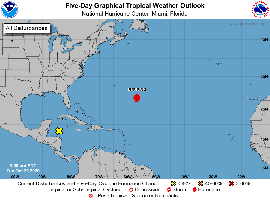
The National Hurricane Center is issuing advisories on Tropical
Storm Epsilon, located over the central Atlantic several
hundred miles east-southeast of Bermuda.
1. A trough of low pressure, extending from the Yucatan Channel
southeastward into the southwestern Caribbean Sea, is producing
disorganized showers and thunderstorms over portions of the western
Caribbean Sea. Upper-level winds are expected to remain unfavorable
during the next several days and therefore development of this
system is not anticipated as it drifts westward during the next few
days.
* Formation chance through 48 hours...low...near 0 percent.
* Formation chance through 5 days...low...near 0 percent.
Forecaster Roberts