ZCZC MIATWOAT ALL
TTAA00 KNHC DDHHMM
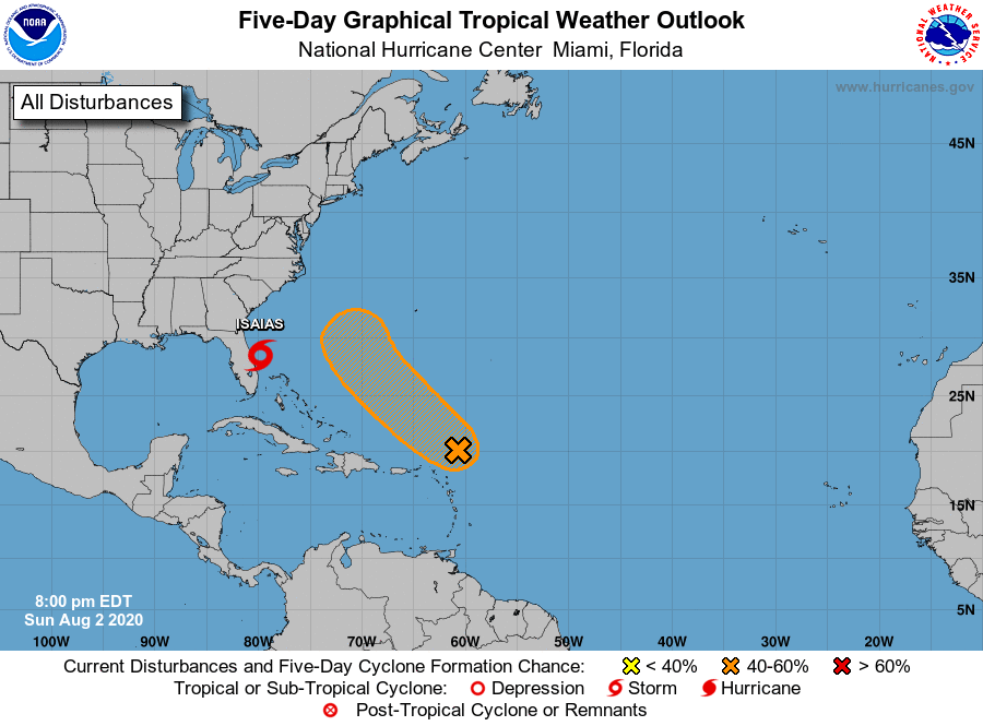
Tropical Weather Outlook
NWS National Hurricane Center Miami FL
800 PM EDT Sun Aug 2 2020
For the North Atlantic...Caribbean Sea and the Gulf of Mexico:
The National Hurricane Center is issuing advisories on Tropical
Storm Isaias, located just offshore of east-central Florida.
1. A trough of low pressure is located about 300 miles north-northeast
of the Leeward Islands. Shower and thunderstorm activity associated
with the trough has decreased during the past few hours and the
system does not appear to be very well organized at the surface at
this time. However, environmental conditions are expected to allow
some slow development of the system to occur during the next few
days, and a tropical depression could form by the middle of the
week. This system is forecast to move northwestward over the western
Atlantic on Monday and Tuesday before it stalls southwest or
west-southwest of Bermuda by the end of the week.
* Formation chance through 48 hours...medium...40 percent.
* Formation chance through 5 days...medium...60 percent.
Forecaster Zelinsky