ZCZC MIATWOEP ALL
TTAA00 KNHC DDHHMM
Tropical Weather Outlook
NWS National Hurricane Center Miami FL
1100 AM PDT Sun Jun 28 2020
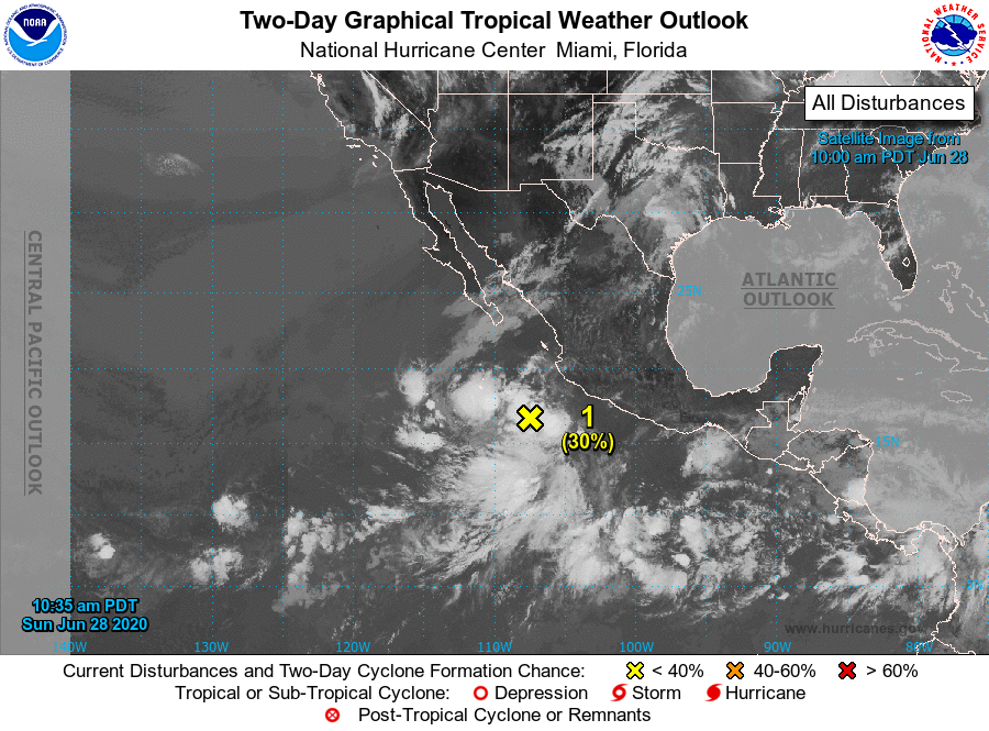
For the eastern North Pacific...east of 140 degrees west longitude:
1. Showers and thunderstorms associated with a trough of low pressure
a few hundred miles southwest of southwestern Mexico have become a
little better organized since yesterday. Further development of
this system is possible while the trough moves northwestward at
about 15 mph before reaching cool waters on Tuesday.
* Formation chance through 48 hours...low...30 percent.
* Formation chance through 5 days...low...30 percent.
2. An area of low pressure is likely to form a few hundred miles
south-southwest of the Gulf of Tehuantepec by the middle of the
week. Environmental conditions are then forecast to be conducive
for slow development while the system moves west-northwestward at
10 to 15 mph well south of Mexico.
* Formation chance through 48 hours...low...near 0 percent.
* Formation chance through 5 days...low...20 percent.
Forecaster Blake