ZCZC MIATWOEP ALL
TTAA00 KNHC DDHHMM
Tropical Weather Outlook
NWS National Hurricane Center Miami FL
400 AM PST Thu Nov 28 2019
For the eastern North Pacific...east of 140 degrees west longitude:
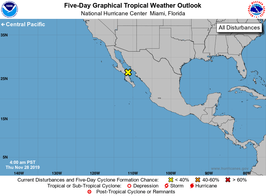
1. A non-tropical area of low pressure is moving inland over portions
of the Baja California peninsula and northwestern mainland Mexico.
This system is not expected to become a tropical cyclone. However,
associated locally heavy rains and gusty winds are possible over
portions of the Baja California peninsula, the Gulf of California,
and northwestern Mexico through this morning. This rainfall could
cause life-threatening flash floods and mudslides. For additional
information on the rainfall threat in Mexico, please see products
issued by the Mexican Weather Service. For information on marine
hazards, see High Seas Forecasts issued by the National Weather
Service.
* Formation chance through 48 hours...low...near 0 percent.
* Formation chance through 5 days...low...near 0 percent.
High Seas Forecasts issued by the National Weather Service can be
found under AWIPS header NFDHSFEPI, WMO header FZPN02 KWBC, and on
the web at ocean.weather.gov/shtml/NFDHSFEPI.php
Information on the rainfall threat in Mexico from CONAGUA can be
found on the web at www.gob.mx/conagua
Forecaster Beven