Skip Navigation Links
NOAA NOAA United States Department of Commerce

NHC Graphical Outlook Archive


« Earliest Available         ‹ Earlier         Later ›         Latest Available »
GIS Shapefiles
Central Pacific Eastern Pacific Atlantic

View 2-Day Graphical Tropical Weather Outlook
Click for Atlantic Click for Atlantic

Tropical Weather Outlook Text

ZCZC MIATWOEP ALL
TTAA00 KNHC DDHHMM

Tropical Weather Outlook
NWS National Hurricane Center Miami FL
500 AM PDT Wed Oct 30 2019

For the eastern North Pacific...east of 140 degrees west longitude:

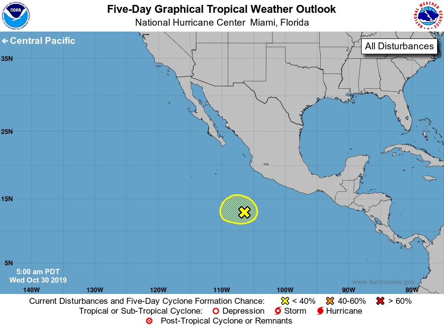
1. An elongated area of low pressure is producing disorganized showers
and thunderstorms several hundred miles south of the southwestern
coast of Mexico. Some slight development of this system is possible
during the next day or so while it moves slowly westward.  After
that time, conditions are expected to become unfavorable for
development.
* Formation chance through 48 hours...low...20 percent.
* Formation chance through 5 days...low...20 percent.

Forecaster Zelinsky


List of Atlantic Outlooks (May 2023 - present)
List of East Pacific Outlooks (May 2023 - present)
List of Central Pacific Outlooks (May 2023 - present)
List of Atlantic Outlooks (July 2014 - April 2023)
List of East Pacific Outlooks (July 2014 - April 2023)
List of Central Pacific Outlooks (June 2019 - April 2023)
List of Atlantic Outlooks (June 2009 - June 2014)
List of East Pacific Outlooks (June 2009 - June 2014)