ZCZC MIATWOAT ALL
TTAA00 KNHC DDHHMM
Tropical Weather Outlook
NWS National Hurricane Center Miami FL
800 AM EDT Sat Oct 7 2017
For the North Atlantic...Caribbean Sea and the Gulf of Mexico:
The National Hurricane Center is issuing advisories on Hurricane
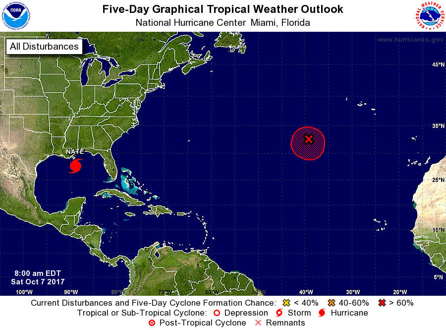
Nate, located over the central Gulf of Mexico.
1. A non-tropical area of low pressure is located about 700 miles
southwest of the Azores. This system is beginning to acquire
subtropical characteristics, and environmental conditions are
expected to be conducive for the development of a tropical or
subtropical cyclone during the next day or so while the low drifts
toward the southwest. Thereafter, the atmosphere is expected to
become hostile for further development.
* Formation chance through 48 hours...high...70 percent.
* Formation chance through 5 days...high...70 percent.
Forecaster Stewart