Skip Navigation Links
NOAA NOAA United States Department of Commerce

NHC Graphical Outlook Archive


« Earliest Available         ‹ Earlier         Later ›         Latest Available »
GIS Shapefiles
tab Eastern North Pacific tab tab Atlantic tab

View 2-Day Graphical Tropical Weather Outlook
Click for Atlantic Click for Atlantic

Tropical Weather Outlook Text

ZCZC MIATWOEP ALL
TTAA00 KNHC DDHHMM

TROPICAL WEATHER OUTLOOK
NWS NATIONAL HURRICANE CENTER MIAMI FL
1000 AM PST TUE NOV 8 2016

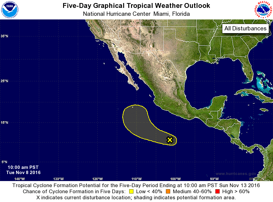
For the eastern North Pacific...east of 140 degrees west longitude:

1. A small area of low pressure located about 500 miles south-southwest
of Acapulco, Mexico, is producing some disorganized showers and
thunderstorms while it moves west-northwestward at 5 to 10 mph. Any
development of this system is expected to be slow to occur as it
turns northwestward and moves into a region of stronger upper-level
winds later this week.
* Formation chance through 48 hours...low...10 percent
* Formation chance through 5 days...low...20 percent

Forecaster Brennan


List of Atlantic Outlooks (May 2023 - present)
List of East Pacific Outlooks (May 2023 - present)
List of Central Pacific Outlooks (May 2023 - present)
List of Atlantic Outlooks (July 2014 - April 2023)
List of East Pacific Outlooks (July 2014 - April 2023)
List of Central Pacific Outlooks (June 2019 - April 2023)
List of Atlantic Outlooks (June 2009 - June 2014)
List of East Pacific Outlooks (June 2009 - June 2014)