ZCZC MIATWOEP ALL
TTAA00 KNHC DDHHMM
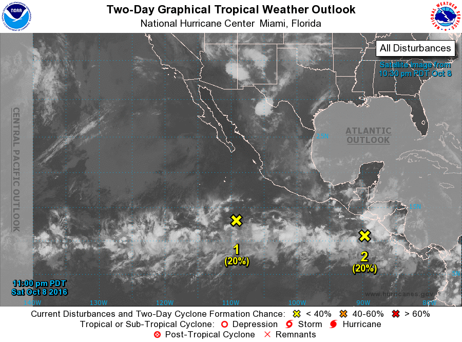
TROPICAL WEATHER OUTLOOK
NWS NATIONAL HURRICANE CENTER MIAMI FL
1100 PM PDT SAT OCT 8 2016
For the eastern North Pacific...east of 140 degrees west longitude:
1. An elongated trough of low pressure, located several hundred miles
south and southwest of the southern tip of the Baja California
peninsula, continues to produce disorganized showers and
thunderstorms. This system is expected to consolidate during the
next couple of days, and a tropical depression is likely to form
later this week while moving west-northwestward.
* Formation chance through 48 hours...low...20 percent
* Formation chance through 5 days...high...70 percent
2. An area of disorganized showers and thunderstorms extends a
couple of hundred miles south of El Salvador. Upper-level winds are
expected to become conducive for development in a couple of days,
and a tropical depression is likely to form later this week while
this system moves westward and then west-northwestward.
* Formation chance through 48 hours...low...20 percent
* Formation chance through 5 days...high...70 percent
Forecaster Berg