ZCZC MIATWOEP ALL
TTAA00 KNHC DDHHMM
Tropical Weather Outlook
NWS National Hurricane Center Miami FL
1100 PM PDT Fri Jul 1 2022
For the eastern North Pacific...east of 140 degrees west longitude:
Active Systems:
The National Hurricane Center is issuing advisories on Atlantic
basin Tropical Storm Bonnie currently located inland near the
Nicaragua/Costa Rica border. The system is forecast to complete
crossing Central America and move into the east Pacific basin, as a
tropical cyclone, later today.
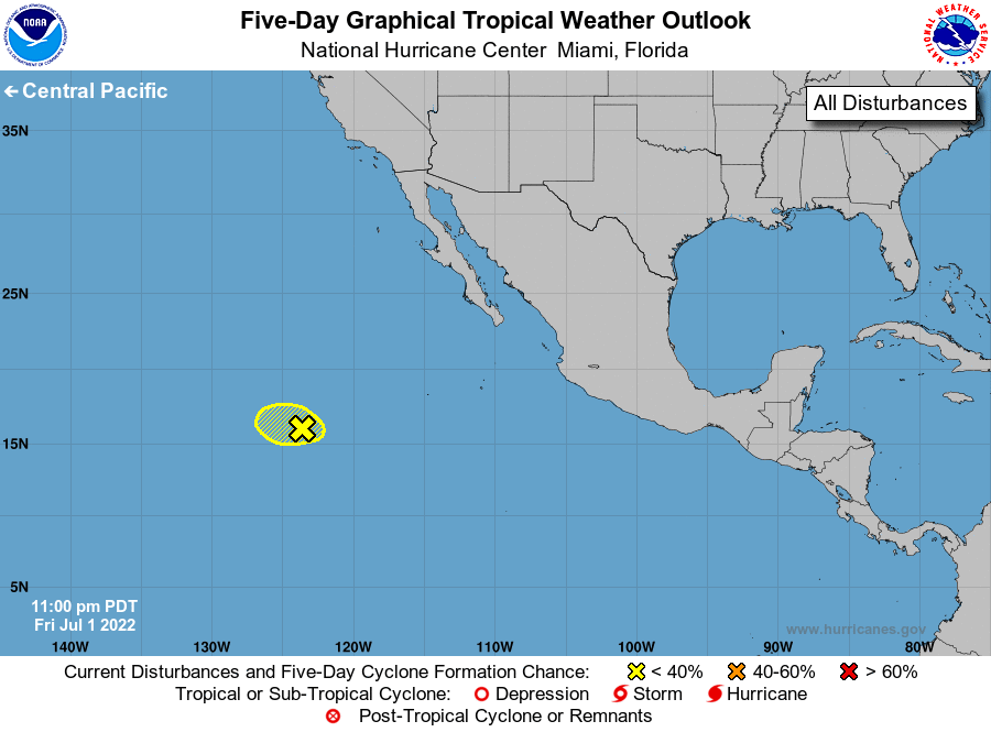
1. Central East Pacific:
Showers and thunderstorms have largely dissipated in association
with an area of low pressure located several hundred miles southwest
of the southern tip of the Baja California peninsula. Additional
development of this system now appears unlikely as it moves westward
at 10 to 15 mph over gradually decreasing sea surface temperatures
and within a less conducive atmospheric environment.
* Formation chance through 48 hours...low...10 percent.
* Formation chance through 5 days...low...10 percent.
Forecaster Papin