ZCZC MIATWOEP ALL
TTAA00 KNHC DDHHMM
Tropical Weather Outlook
NWS National Hurricane Center Miami FL
500 PM PDT Fri Jul 1 2022
For the eastern North Pacific...east of 140 degrees west longitude:
Active Systems:
The National Hurricane Center is issuing advisories on Atlantic
basin Tropical Storm Bonnie currently located over the southwestern
Caribbean Sea. The system is forecast to cross Central America and
move into the east Pacific basin, as a tropical cyclone, on
Saturday.
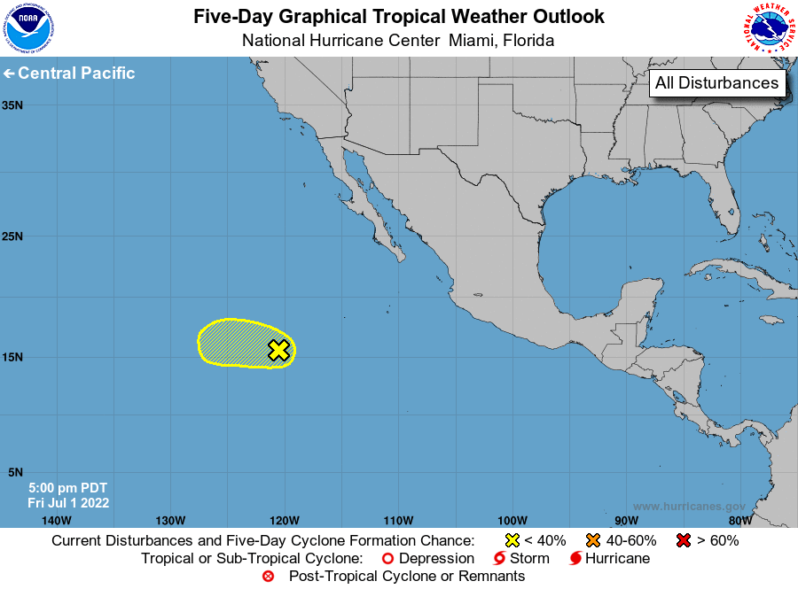
1. Central East Pacific:
Afternoon satellite-derived surface wind data indicated that a
small, well-defined surface circulation has formed several hundred
miles southwest of the southern tip of the Baja California
peninsula. Showers and thunderstorms are limited, however, and
further development of this system is not likely to occur while it
moves westward at 10 to 15 mph over gradually decreasing sea
surface temperatures and into a less favorable environment.
* Formation chance through 48 hours...low...30 percent.
* Formation chance through 5 days...low...30 percent.
Forecaster Roberts