ZCZC MIATWOEP ALL
TTAA00 KNHC DDHHMM
Tropical Weather Outlook
NWS National Hurricane Center Miami FL
1100 PM PDT Mon Jul 29 2019
For the eastern North Pacific...east of 140 degrees west longitude:
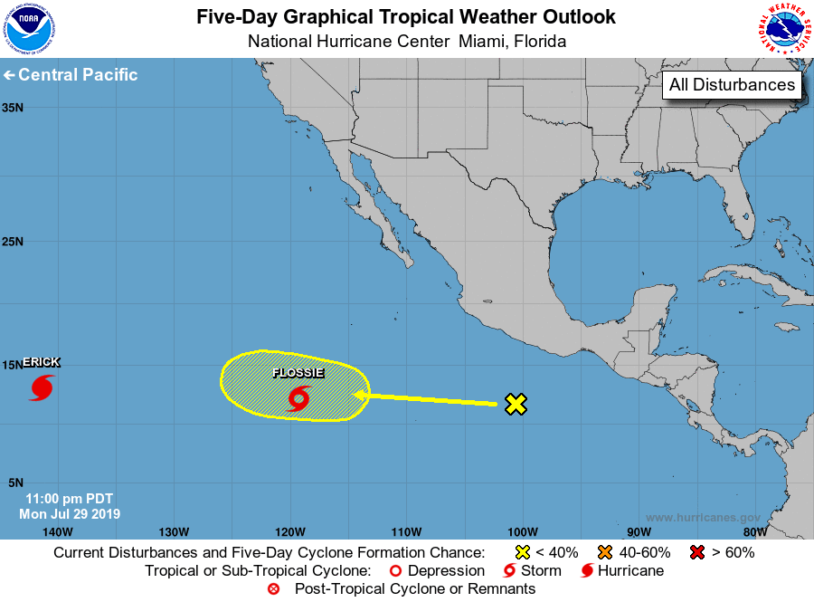
The National Hurricane Center is issuing advisories on Tropical
Storm Flossie, located several hundred miles southwest of the
southern tip of the Baja California Peninsula. The National
Hurricane Center has issued its last advisory on recently upgraded
Hurricane Erick, which has moved into the central Pacific basin.
1. Disorganized showers and thunderstorms a few hundred hundred miles
south of Acapulco are associated with a tropical wave. Upper-level
winds could become marginally conducive for development late this
week while the system moves quickly westward, away from the coast of
Mexico.
* Formation chance through 48 hours...low...near 0 percent.
* Formation chance through 5 days...low...20 percent.
Forecaster Latto/Pasch