ZCZC MIATWOEP ALL
TTAA00 KNHC DDHHMM
Tropical Weather Outlook
NWS National Hurricane Center Miami FL
500 PM PDT Fri Nov 2 2018
For the eastern North Pacific...east of 140 degrees west longitude:
The National Hurricane Center is issuing advisories on newly formed
Tropical Depression Twenty-Five-E, located several hundred miles
southwest of Manzanillo, Mexico.
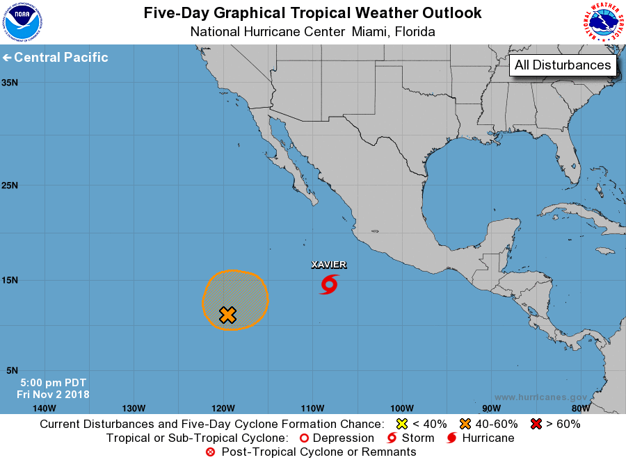
1. An area of disturbed weather is located about 1000 miles southwest
of the southern tip of the Baja California peninsula. Some
development of this system is possible during the next few days
while it moves slowly northward or northeastward. Environmental
conditions are forecast to become unfavorable for further
development by early next week.
* Formation chance through 48 hours...low...30 percent.
* Formation chance through 5 days...medium...40 percent.
Public Advisories on Tropical Depression Twenty-Five-E are issued
under WMO header WTPZ35 KNHC and under AWIPS header MIATCPEP5.
Forecast/Advisories on Tropical Depression Twenty-Five-E are issued
under WMO header WTPZ25 KNHC and under AWIPS header MIATCMEP5.
Forecaster Zelinsky