ZCZC HFOTWOCP ALL
TTAA00 PHFO DDHHMM
Tropical Weather Outlook
NWS Central Pacific Hurricane Center Honolulu HI
800 PM HST Wed Sep 22 2021
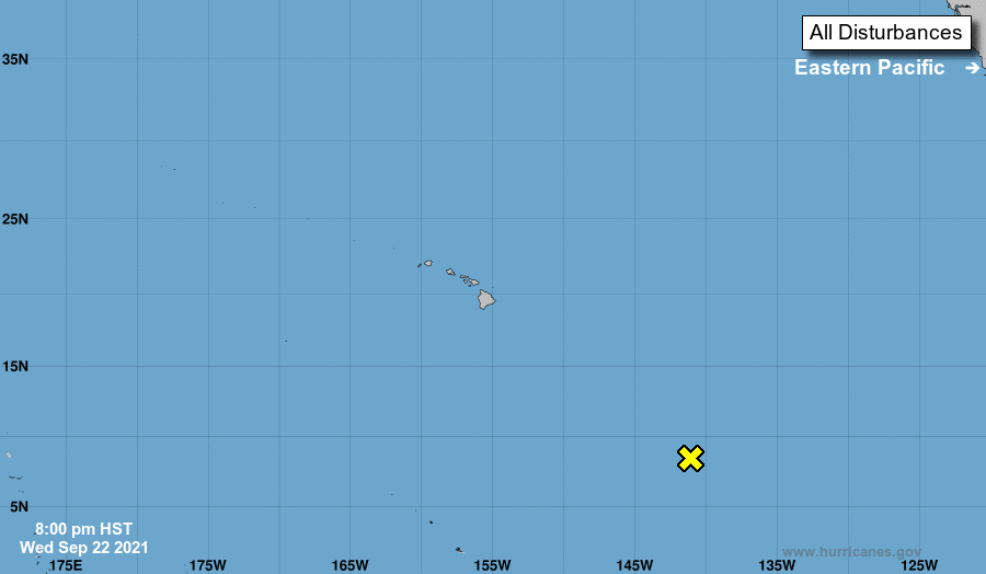
For the central North Pacific...between 140W and 180W:
1. A disorganized area of showers and thunderstorms is located about
1200 miles southeast of Hilo, Hawaii. Minimally favorable
conditions for development will linger for the next few days while
vertical wind shear is lowest and the system is over warm ocean
temperatures. However, dry air at mid-levels will hinder
development. Beyond about 72 hours, upper level winds and sea
surface temperatures are expected to become unfavorable for
development as well.
* Formation chance through 48 hours...low...10 percent
* Formation chance through 5 days...low...10 percent
Elsewhere, no tropical cyclones are expected during the next 5 days.
Forecaster Powell