ZCZC MIATWOAT ALL
TTAA00 KNHC DDHHMM
Tropical Weather Outlook
NWS National Hurricane Center Miami FL
200 AM EDT Tue Jul 27 2021
For the North Atlantic...Caribbean Sea and the Gulf of Mexico:
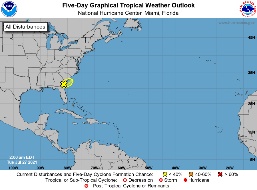
1. A weak area of low pressure is located just inland along the
Georgia coastline. Shower and thunderstorm activity associated with
the low has increased somewhat tonight, but remains disorganized.
This system is expected to meander along the coastline of Georgia
and South Carolina over the next day or so, and a small chance of
development remains if the system moves back offshore over the
warm Gulf Stream waters. Locally heavy rainfall remains possible
over portions of the Georgia and South Carolina coast today.
* Formation chance through 48 hours...low...10 percent.
* Formation chance through 5 days...low...10 percent.
Forecaster Papin/Brown