ZCZC MIATWOAT ALL
TTAA00 KNHC DDHHMM
Tropical Weather Outlook
NWS National Hurricane Center Miami FL
800 PM EDT Tue Aug 20 2019
For the North Atlantic...Caribbean Sea and the Gulf of Mexico:
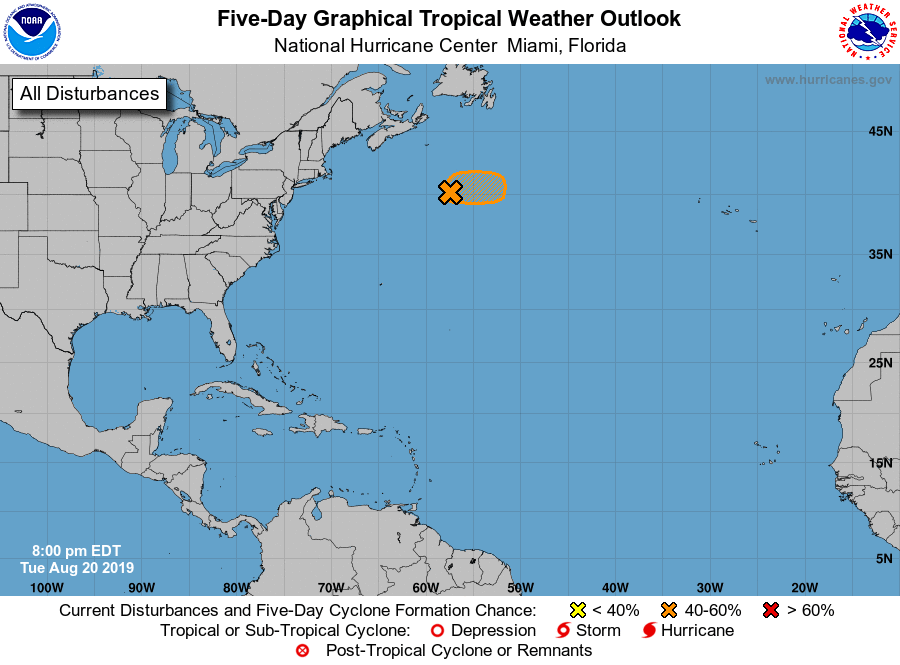
1. A small low pressure system is located more than 400 miles
southeast of Halifax, Nova Scotia. Associated thunderstorm activity
continues to shows signs of organization, and recent satellite data
indicate that the circulation has become a little better defined.
Although environmental conditions are only marginally conducive, any
further development of this low could result in the formation of a
tropical cyclone while it moves eastward at 15 to 20 mph across the
open north Atlantic.
* Formation chance through 48 hours...medium...40 percent.
* Formation chance through 5 days...medium...40 percent.
Additional information on this system can be found in High Seas
Forecasts issued by the National Weather Service, under AWIPS
header NFDHSFAT1, WMO header FZNT01 KWBC, and online at
ocean.weather.gov/shtml/NFDHSFAT1.php .
Forecaster Stewart