ZCZC MIATWOAT ALL
TTAA00 KNHC DDHHMM
Tropical Weather Outlook
NWS National Hurricane Center Miami FL
800 AM EDT Tue Aug 14 2018
For the North Atlantic...Caribbean Sea and the Gulf of Mexico:
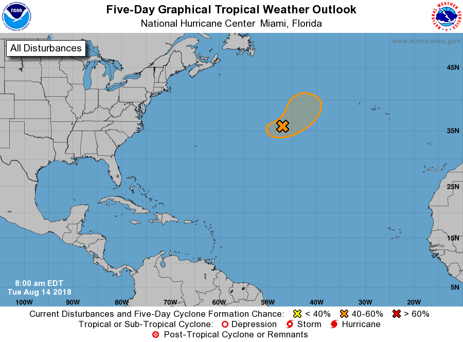
1. A non-tropical complex area of low pressure located several hundred
miles south of Cape Race, Newfoundland, is producing cloudiness and
thunderstorms mainly to the east of the center. Although latest
satellite images indicate that the low has not improved in
organization, conditions could become a little more conducive for
subtropical rather than tropical development by Wednesday. The
system is forecast to move northeastward over the colder waters
of the North Atlantic by late Thursday or Friday, which should limit
any additional development.
* Formation chance through 48 hours...medium...40 percent.
* Formation chance through 5 days...medium...40 percent.
Forecaster Avila