ZCZC MIATWOAT ALL
TTAA00 KNHC DDHHMM
Tropical Weather Outlook
NWS National Hurricane Center Miami FL
200 PM EDT Mon Aug 6 2018
For the North Atlantic...Caribbean Sea and the Gulf of Mexico:
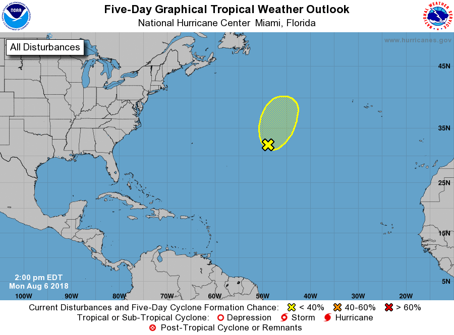
1. A non-tropical low pressure system centered about 1100 miles
west-southwest of the Azores is interacting with an upper-level low.
Although the associated shower and thunderstorm activity has
increased during the past 24 hours, environmental conditions are
expected to be only marginally conducive for additional development
while the system moves north or north-northeastward over the next
day or so. The low is forecast to move over cooler waters Tuesday
night, and development is not expected after that time. Additional
information on this system can be found in High Seas Forecasts
issued by the National Weather Service.
* Formation chance through 48 hours...low...30 percent.
* Formation chance through 5 days...low...30 percent.
High Seas Forecasts issued by the National Weather Service can be
found under AWIPS header NFDHSFAT1, WMO header FZNT01 KWBC, and
on the Web at https://ocean.weather.gov/shtml/NFDHSFAT1.shtml.
Forecaster Brown