ZCZC MIATWOAT ALL
TTAA00 KNHC DDHHMM
Tropical Weather Outlook
NWS National Hurricane Center Miami FL
200 AM EDT Mon Oct 16 2017
For the North Atlantic...Caribbean Sea and the Gulf of Mexico:
The National Hurricane Center has issued the last advisory on
Hurricane Ophelia, located over the far northeastern Atlantic Ocean
a couple of hundred miles south-southwest of Ireland.
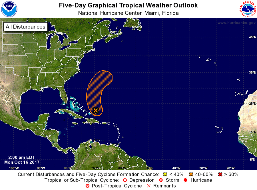
1. A low pressure system located about 100 miles east-northeast of the
Turks and Caicos Islands is gradually becoming better defined.
Associated thunderstorm activity has increased and become a little
better organized this morning, and gale-force winds have been
occurring in squalls northeast of the center. Some development of
this low will be possible during the next day or so while it moves
generally northward over the western Atlantic. However, upper-level
winds are expected to become unfavorable for tropical cyclone
formation by late Tuesday, and the system is likely to merge with a
front and become extratropical on Wednesday.
* Formation chance through 48 hours...medium...40 percent.
* Formation chance through 5 days...medium...40 percent.
Forecaster Stewart