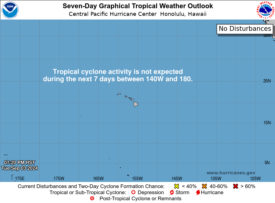
ZCZC HFOTWOCP ALL
TTAA00 PHFO DDHHMM

Tropical Weather Outlook
NWS Central Pacific Hurricane Center Honolulu HI
Issued by NWS National Hurricane Center Miami FL
800 PM HST Wed Jul 30 2025

For the central North Pacific...between 140W and 180W:

Active Systems:
The National Hurricane Center is issuing advisories on Tropical
Storm Iona, located in the central Pacific basin well southwest of
the Hawaiian Islands.

1. Well Southeast of the Hawaiian Islands (CP92):
Disorganized showers and thunderstorms associated with a broad area
of low pressure located about 800 miles southeast of Hilo, Hawaii,
continue to persist. Although the system lacks a well-defined
low-level center at this time, some additional development is
possible, and a short-lived tropical depression could still form
during the next day or so. After that time, environmental conditions
are expected to become less conducive for further development.
* Formation chance through 48 hours...medium...40 percent.
* Formation chance through 7 days...medium...40 percent.


Forecaster Gibbs/Hagen


