ZCZC MIATWOEP ALL
TTAA00 KNHC DDHHMM
Tropical Weather Outlook
NWS National Hurricane Center Miami FL
500 PM PDT Mon Oct 10 2022
For the eastern North Pacific...east of 140 degrees west longitude:
Active Systems:
The National Hurricane Center has issued the last advisory on the
remnants of Julia, located over southeastern Mexico and the
adjacent eastern Pacific waters.
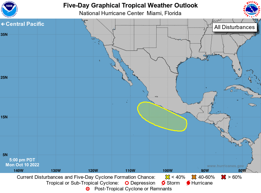
1. Near the coast of Southern Mexico:
A portion of Julia's remnants is expected to move westward and could
contribute to the formation of a new area of low pressure just south
of the coast of southern Mexico within a couple of days. Some
subsequent gradual development of the new system will be possible
while it moves generally westward to west-northwestward near the
coast of Mexico through the end of the week. Regardless of
development, heavy rainfall associated with the remnants of Julia
interacting with a broader area of low pressure will likely cause
flash flooding and mudslides across portions of southern Mexico and
northern Central America during the next day or so.
* Formation chance through 48 hours...low...near 0 percent.
* Formation chance through 5 days...low...30 percent.
Forecaster Latto