ZCZC MIATWOAT ALL
TTAA00 KNHC DDHHMM
Tropical Weather Outlook
NWS National Hurricane Center Miami FL
200 PM EDT Mon Oct 10 2022
For the North Atlantic...Caribbean Sea and the Gulf of Mexico:
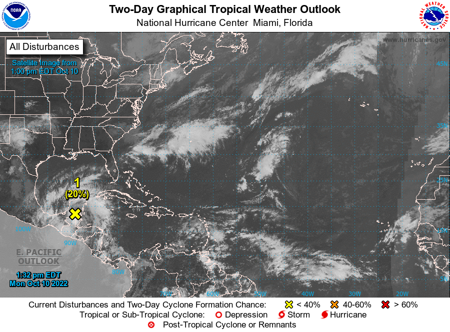
1. Southwest Gulf of Mexico:
A trough of low pressure over the Yucatan Peninsula is producing
disorganized showers and a few thunderstorms. Some development of
this system is possible on Tuesday and Wednesday when the system
moves slowly west-northwestard to northwestward over the far
southwestern Gulf of Mexico. Increasing upper-level winds should
prevent significant development late this week. Regardless of
development, heavy rain is expected over portions of southern
Mexico, Belize, and Guatemala during the next couple of days.
* Formation chance through 48 hours...low...20 percent.
* Formation chance through 5 days...low...20 percent.
Forecaster Blake