ZCZC MIATWOAT ALL
TTAA00 KNHC DDHHMM
Tropical Weather Outlook
NWS National Hurricane Center Miami FL
200 PM EDT Sun Aug 14 2022
For the North Atlantic...Caribbean Sea and the Gulf of Mexico:
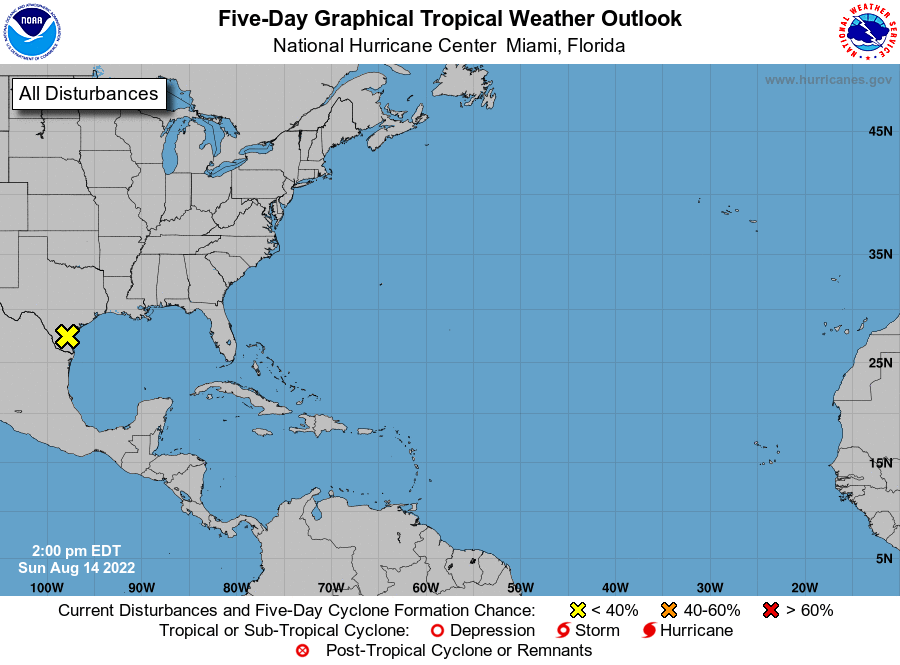
1. Southern Texas:
A large area of showers and thunderstorms continues to move over
southern Texas in association with a low pressure area located
inland over South Texas. Although no additional development of
this system is expected as it moves over land, heavy rains are
likely to continue over portions of southern Texas through Monday,
which could cause localized areas of flash flooding. For more
information about the potential for heavy rainfall, please see
products issued by your local National Weather Service office and
the Weather Prediction Center.
* Formation chance through 48 hours...low...near 0 percent.
* Formation chance through 5 days...low...near 0 percent.
For more information on the system, see products issued by the
National Weather Service at weather.gov and wpc.ncep.noaa.gov
Forecaster Brown