ZCZC HFOTWOCP ALL
TTAA00 PHFO DDHHMM
Tropical Weather Outlook
NWS Central Pacific Hurricane Center Honolulu HI
800 AM HST Thu Aug 11 2022
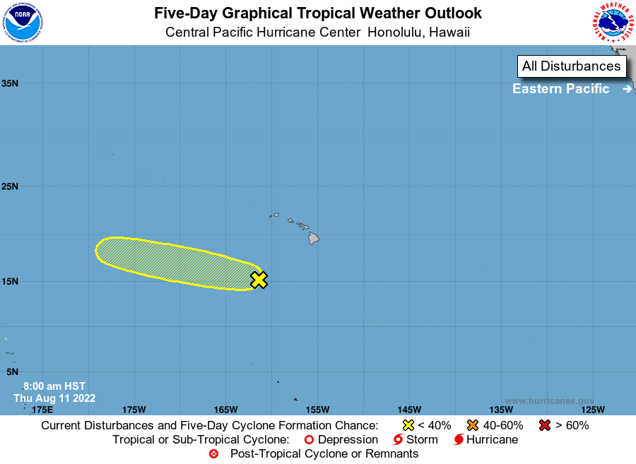
For the central North Pacific...between 140W and 180W:
1. Well southwest of the main Hawaiian Islands:
An area of low pressure located several hundred miles southwest of
the main Hawaiian Islands is generating disorganized showers and
thunderstorms. Development of this system, if any, will be slow to
occur over the next couple of days as it moves steadily
west-northwest, and away from Hawaii. The system is expected to
move out of the central Pacific basin late this weekend.
* Formation chance through 48 hours...low...10 percent.
* Formation chance through 5 days...low...30 percent.
Elsewhere, no tropical cyclones are expected during the next 5
days.
Forecaster Birchard