ZCZC HFOTWOCP ALL
TTAA00 PHFO DDHHMM
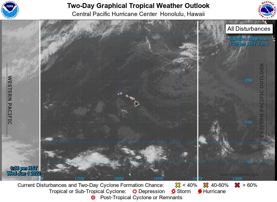
Tropical Weather Outlook
NWS Central Pacific Hurricane Center Honolulu HI
200 PM HST Wed Jun 1 2022
For the central North Pacific...between 140W and 180W:
No tropical cyclones are expected during the next 5 days.
Today marks the first day of the central Pacific hurricane season,
which will run until November 30. This product, the Tropical
Weather Outlook, briefly describes significant areas of disturbed
weather, and their potential for tropical cyclone formation during
the next five days. This product is issued four times per day from
June 1 through November 30 at 2 AM, 8 AM, 2 PM and 8 PM Hawaii
Standard Time.
A Special Tropical Weather Outlook will be issued to provide
updates, as necessary, in between the regularly scheduled issuances
of the Tropical Weather Outlook. Special Tropical Weather Outlooks
will be issued under the same WMO and AWIPS headers as the regular
Tropical Weather Outlooks.
A standard package of products, consisting of the tropical cyclone
public advisory, the forecast/advisory, the cyclone discussion, and
a wind speed probability product, is issued every six hours for all
ongoing tropical cyclones. In addition, a special advisory package
may be issued at any time to advise of significant unexpected
changes or to modify watches or warnings.
A graphical version of the Tropical Weather Outlook is available on
the web at: https://www.hurricanes.gov.
$$
Forecaster Birchard
NNNN