ZCZC MIATWOAT ALL
TTAA00 KNHC DDHHMM
Tropical Weather Outlook
NWS National Hurricane Center Miami FL
200 AM EDT Mon May 23 2022
For the North Atlantic...Caribbean Sea and the Gulf of Mexico:
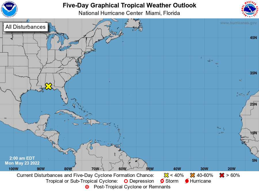
1. North Central Gulf of Mexico Coast:
Surface observations and radar data indicate that the area of low
pressure previously over the north-central Gulf of Mexico has now
moved inland about 15 miles west-northwest of Pensacola, Florida. As
this system continues to move further inland tonight, tropical
cyclone development is not expected. However, the system continues
to produce disorganized thunderstorms and gusty winds across
portions of the Florida Panhandle and southern Alabama and this
activity is expected to spread northeastward across the southeastern
U.S. over the next day or so. Additional information on the rainfall
and flooding potential can be found in products issued by your local
National Weather Service Forecast Office and Excessive Rainfall
Outlooks issued by the Weather Prediction Center.
* Formation chance through 48 hours...low...near 0 percent.
* Formation chance through 5 days...low...near 0 percent.
Forecaster Papin