ZCZC MIATWOAT ALL
TTAA00 KNHC DDHHMM
Tropical Weather Outlook
NWS National Hurricane Center Miami FL
800 AM EDT Fri Oct 15 2021
For the North Atlantic...Caribbean Sea and the Gulf of Mexico:
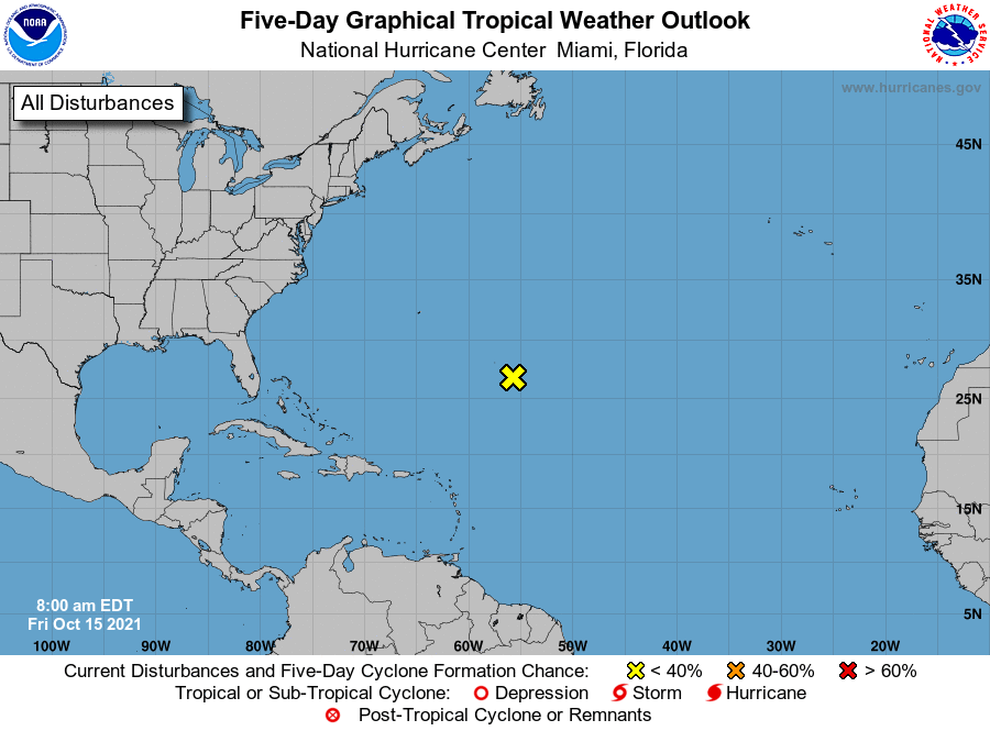
1. An elongated area of low pressure located more than 500 miles
southeast of Bermuda is beginning to merge with a larger
mid-latitude trough. While earlier satellite wind data indicate
this system is producing gale force winds, the associated shower and
thunderstorm activity remains disorganized. Strong upper-level winds
are expected to prevent additional tropical development of this
system as it accelerates to the east-northeast over the next several
days. Additional information on this system, including gale
warnings, can be found in High Seas Forecasts issued by the National
Weather Service.
* Formation chance through 48 hours...low...near 0 percent.
* Formation chance through 5 days...low...near 0 percent.
High Seas Forecasts issued by the National Weather Service
can be found under AWIPS header NFDHSFAT1, WMO header FZNT01
KWBC, and online at ocean.weather.gov/shtml/NFDHSFAT1.php
Forecaster Papin