ZCZC MIATWOEP ALL
TTAA00 KNHC DDHHMM
Tropical Weather Outlook
NWS National Hurricane Center Miami FL
500 AM PDT Sun Jul 25 2021
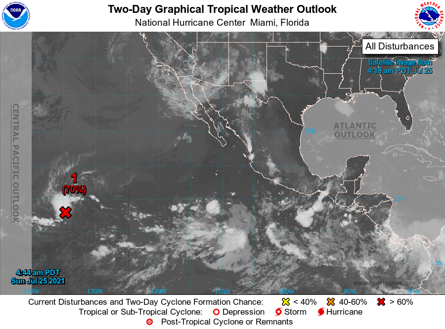
For the eastern North Pacific...east of 140 degrees west longitude:
1. Satellite imagery indicates that a low pressure system located over
1400 miles east-southeast of the Hawaiian Islands is showing signs
of better organization this morning, with increased shower and
thunderstorm activity mainly to the north of its center.
Environmental conditions are expected to be conducive for further
development, and a tropical depression is likely to form within the
next day or so while the system moves westward at 10 to 15 mph. By
Tuesday, cooler waters and unfavorable upper-level winds will likely
limit any further development of this system.
* Formation chance through 48 hours...high...70 percent.
* Formation chance through 5 days...high...70 percent.
2. An area of low pressure could form in several days a few hundred
miles south or southeast of the Gulf of Tehuantepec. Thereafter,
some gradual development is possible through late this week while
the system moves generally west-northwestward at 10 to 15 mph,
remaining a couple of hundred miles offshore of the coast of
southern Mexico.
* Formation chance through 48 hours...low...near 0 percent.
* Formation chance through 5 days...low...20 percent.
Forecaster Reinhart/Pasch