ZCZC MIATWOAT ALL
TTAA00 KNHC DDHHMM
Tropical Weather Outlook
NWS National Hurricane Center Miami FL
200 PM EDT Wed Jul 14 2021
For the North Atlantic...Caribbean Sea and the Gulf of Mexico:
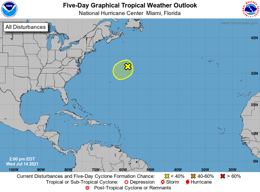
1. A non-tropical area of low pressure, located several hundred
miles south-southwest of Cape Race, Newfoundland, is producing
limited shower activity but winds to gale force, mainly to the
north of the surface center. Although environmental conditions are
only marginally conducive during the next couple of days, some
slight development of this system is possible as it drifts generally
southwestward over warmer waters. The low is expected to accelerate
northeastward and open up into a trough of low pressure by Friday to
the south of Atlantic Canada. Additional information on this system
can be found in High Seas Forecasts issued by the National Weather
Service.
* Formation chance through 48 hours...low...10 percent.
* Formation chance through 5 days...low...10 percent.
High Seas Forecasts issued by the National Weather Service can be
found under AWIPS header NFDHSFAT1, WMO header FZNT01 KWBC, and
online at ocean.weather.gov/shtml/NFDHSFAT1.php
Forecaster Roberts