ZCZC MIATWOEP ALL
TTAA00 KNHC DDHHMM
Tropical Weather Outlook
NWS National Hurricane Center Miami FL
400 AM PST Tue Nov 17 2020
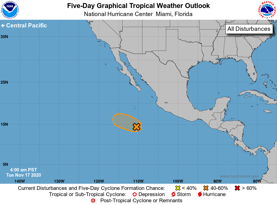
For the eastern North Pacific...east of 140 degrees west longitude:
1. Showers and thunderstorms associated with a broad area of low
pressure located several hundred miles southwest of the coast of
southwestern Mexico have changed little in organization overnight.
Although environmental conditions are only somewhat conducive for
development, a short-lived tropical depression could still form
within a day or so as the system moves west-northwestward or
northwestward at about 10 mph. Conditions are forecast to become
increasingly unfavorable for further development on Thursday.
* Formation chance through 48 hours...medium...50 percent.
* Formation chance through 5 days...medium...50 percent.
Forecaster Brown