ZCZC MIATWOEP ALL
TTAA00 KNHC DDHHMM
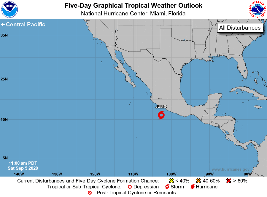
Tropical Weather Outlook
NWS National Hurricane Center Miami FL
1100 AM PDT Sat Sep 5 2020
For the eastern North Pacific...east of 140 degrees west longitude:
1. A small well-defined low pressure system is located about 150 miles
southwest of Acapulco, Mexico. The low is producing
tropical-storm-force winds over a small area to the north of its
center, but the associated thunderstorm activity remains
intermittent. Conditions do not appear to be favorable for much
further development, but only a small increase in the organization
of thunderstorms near the center of the circulation would result in
the formation of a tropical storm. This system is expected to move
generally west-northwestward, near or along the southwestern coast
of Mexico during the next couple of days. Regardless of development,
this low could produce locally heavy rainfall along portions of the
southwestern coast of Mexico. For more information, please consult
products from your local meteorological office.
* Formation chance through 48 hours...high...70 percent.
* Formation chance through 5 days...high...70 percent.
Forecaster Zelinsky