ZCZC MIATWOEP ALL
TTAA00 KNHC DDHHMM
Tropical Weather Outlook
NWS National Hurricane Center Miami FL
500 PM PDT Sun Aug 30 2020
For the eastern North Pacific...east of 140 degrees west longitude:
The National Hurricane Center has is issued the last advisory on
Post-Tropical Cyclone Iselle, located a couple of hundred
miles west-northwest of the southern tip of the Baja California
peninsula.
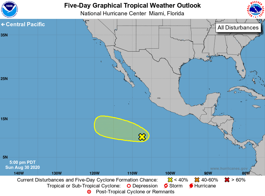
1. A large area of disorganized showers and thunderstorms located
several hundred miles south-southwest of the southwestern coast of
Mexico is associated with a broad area of low pressure. Although
upper-level winds are only marginally conducive, some gradual
develop of this system is possible during the next few days while
it moves slowly west-northwestward.
* Formation chance through 48 hours...low...20 percent.
* Formation chance through 5 days...low...30 percent.
Forecaster Brown