ZCZC MIATWOEP ALL
TTAA00 KNHC DDHHMM
Tropical Weather Outlook
NWS National Hurricane Center Miami FL
500 PM PDT Sat Oct 5 2019
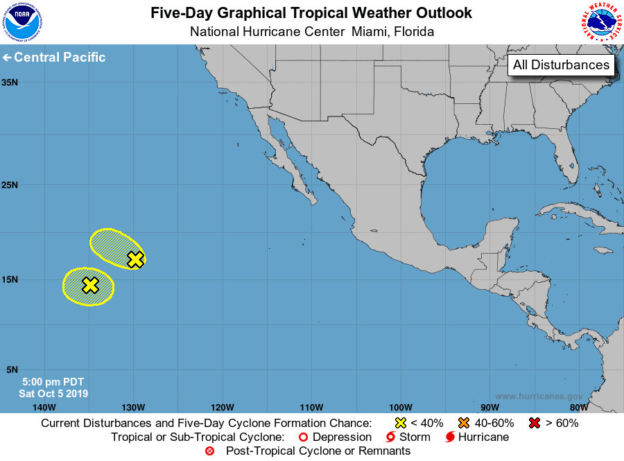
For the eastern North Pacific...east of 140 degrees west longitude:
1. An area of low pressure located about 1350 miles west-southwest of
the southern tip of the Baja California peninsula continues to
produce a concentrated area of showers and thunderstorms. However,
satellite data suggests that the circulation of the disturbance is
becoming less defined. This system is expected to move
northwestward at about 10 mph and merge with another disturbance to
its southwest within the next couple of days.
* Formation chance through 48 hours...low...10 percent.
* Formation chance through 5 days...low...10 percent.
2. A nearly stationary area of low pressure, located just southwest of
the disturbance mentioned above, about 1700 miles southwest of the
southern tip of the Baja California peninsula, continues to produce
disorganized shower and thunderstorm activity. Development of this
system is not likely before it merges with the disturbance located
to its northeast late this weekend or early next week.
* Formation chance through 48 hours...low...10 percent.
* Formation chance through 5 days...low...10 percent.
Forecaster Cangialosi