ZCZC MIATWOAT ALL
TTAA00 KNHC DDHHMM
Tropical Weather Outlook
NWS National Hurricane Center Miami FL
800 AM EDT Wed Aug 21 2019
For the North Atlantic...Caribbean Sea and the Gulf of Mexico:
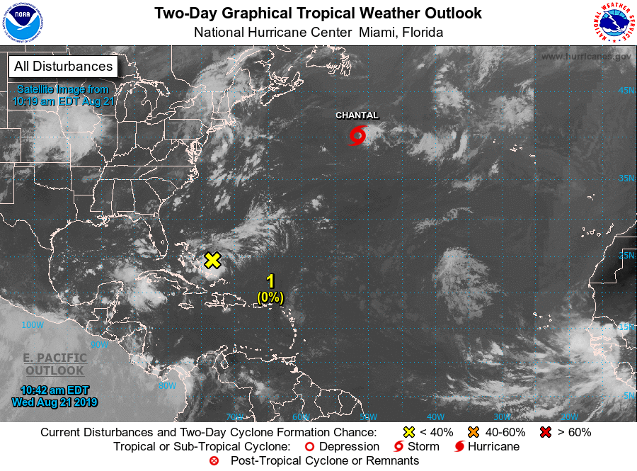
The National Hurricane Center is issuing advisories on Tropical
Storm Chantal, located several hundred miles east-southeast of
Halifax, Nova Scotia.
1. An area of disturbed weather located over the central and
northwestern Bahamas is producing disorganized showers and
thunderstorms. Some slow development of this system is possible over
the next several days at it moves toward the Florida peninsula and
then the southeastern United States.
* Formation chance through 48 hours...low...near 0 percent.
* Formation chance through 5 days...low...20 percent.
Public Advisories on Tropical Storm Chantal are issued under WMO
header WTNT34 KNHC and under AWIPS header MIATCPAT4.
Forecast/Advisories on Tropical Storm Chantal are issued under WMO
header WTNT24 KNHC and under AWIPS header MIATCMAT4.
Forecaster Latto/Pasch