ZCZC MIATWOEP ALL
TTAA00 KNHC DDHHMM
Tropical Weather Outlook
NWS National Hurricane Center Miami FL
500 AM PDT Fri Aug 9 2019
For the eastern North Pacific...east of 140 degrees west longitude:
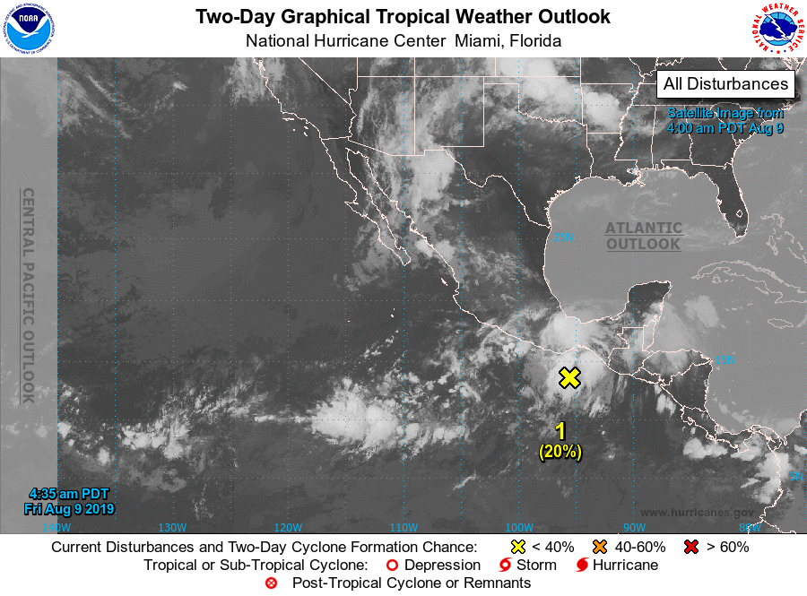
1. Showers and thunderstorms associated with a broad area of low
pressure located near the Gulf of Tehuantepec have become a little
more concentrated overnight. Conditions are forecast to be
conducive for some additional development over the weekend and
a tropical depression could form within the next few days while
the system moves west-northwestward at 10 to 15 mph, just off the
southwestern coast of Mexico. Regardless of development, this
system could product locally heavy rainfall along portions of the
southern and southwestern coast of Mexico during the next couple of
days.
* Formation chance through 48 hours...low...20 percent.
* Formation chance through 5 days...medium...50 percent.
2. An area of low pressure is forecast to develop several hundred miles
southwest of the southern tip of the Baja California peninsula by
early next week. Environmental conditions are expected to gradually
become more conducive for development through the middle of next
week while the system moves westward or west-northwestward at 10
to 15 mph.
* Formation chance through 48 hours...low...near 0 percent.
* Formation chance through 5 days...low...20 percent.
Forecaster Brown