ZCZC MIATWOEP ALL
TTAA00 KNHC DDHHMM
Tropical Weather Outlook
NWS National Hurricane Center Miami FL
500 PM PDT Thu May 30 2019
For the eastern North Pacific...east of 140 degrees west longitude:
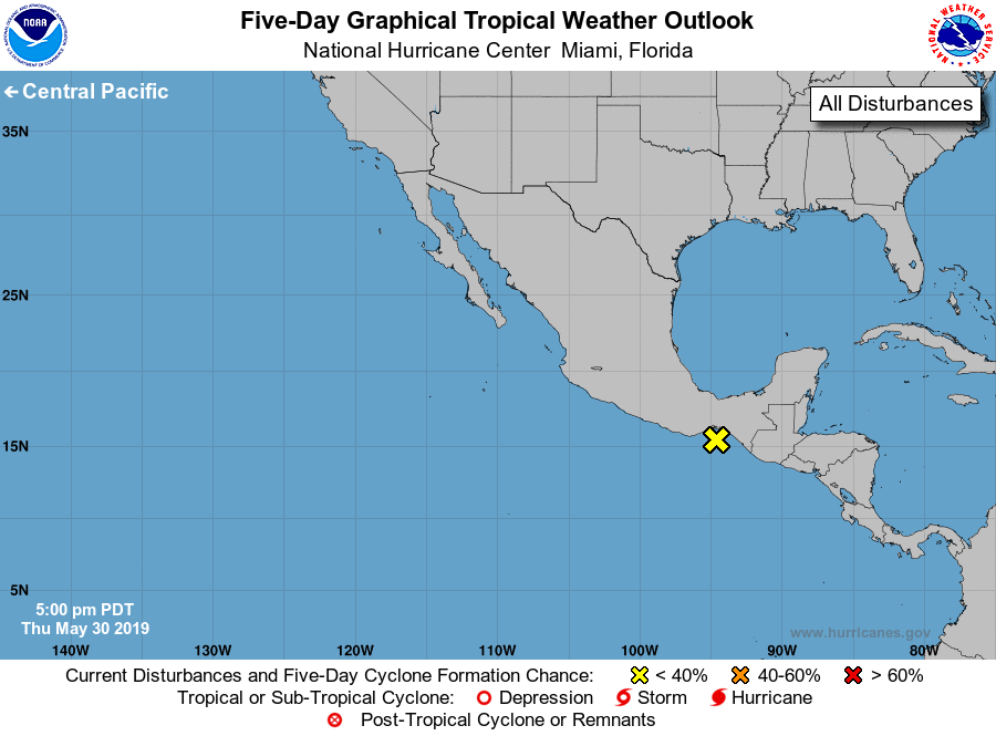
1. A trough of low pressure extending from about 100 miles offshore of
southern Mexico eastward to Guatemala continues to produce a large
but disorganized area of showers and thunderstorms over portions of
southern Mexico, Central America, and the far eastern Pacific. This
system is expected to move inland tonight or Friday, and tropical
cyclone formation is not anticipated. Even though development is
not expected, heavy rain is likely to continue over portions of
southern Mexico and Central America into the weekend. These rains
could cause flash flooding and mudslides in areas of mountainous
terrain.
* Formation chance through 48 hours...low...near 0 percent.
* Formation chance through 5 days...low...near 0 percent.
Forecaster Latto/Beven