ZCZC MIATWOEP ALL
TTAA00 KNHC DDHHMM
Tropical Weather Outlook
NWS National Hurricane Center Miami FL
500 PM PDT Wed May 29 2019
For the eastern North Pacific...east of 140 degrees west longitude:
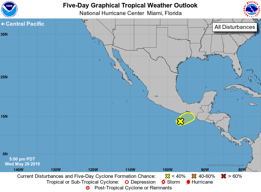
1. Disorganized showers and thunderstorms continue a couple hundred
miles south of southern Mexico in association with a broad area of
low pressure. Development, if any, should be slow to occur during
the next day or so before the system moves inland over southern
Mexico. Regardless of whether or not this disturbance develops,
heavy rain is expected over portions of southern Mexico and Central
America throughout this week and into the weekend. These rains could
cause flash flooding and mudslides in areas of mountainous terrain.
* Formation chance through 48 hours...low...20 percent.
* Formation chance through 5 days...low...20 percent.
Forecaster Latto/Stewart