ZCZC MIATWOEP ALL
TTAA00 KNHC DDHHMM
Tropical Weather Outlook
NWS National Hurricane Center Miami FL
1100 PM PDT Thu May 23 2019
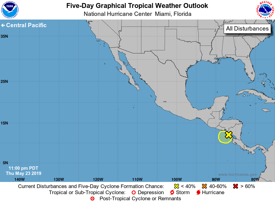
For the eastern North Pacific...east of 140 degrees west longitude:
1. A broad area of low pressure centered near the west coast of
Nicaragua is producing disorganized showers and thunderstorms over
portions of Central America and the adjacent waters of the eastern
North Pacific. Development of this system, if any, should be slow to
occur while the large circulation interacts with land during the
next few days. Regardless of development, locally heavy rains are
likely to continue over portions of Central America as this system
remains nearly stationary through the weekend. These rains could
cause flash flooding and mudslides in areas of mountainous terrain.
* Formation chance through 48 hours...low...10 percent.
* Formation chance through 5 days...low...20 percent.
Forecaster Zelinsky