ZCZC MIATWOEP ALL
TTAA00 KNHC DDHHMM
Tropical Weather Outlook
NWS National Hurricane Center Miami FL
400 AM PST Thu Nov 29 2018
For the eastern North Pacific...east of 140 degrees west longitude:
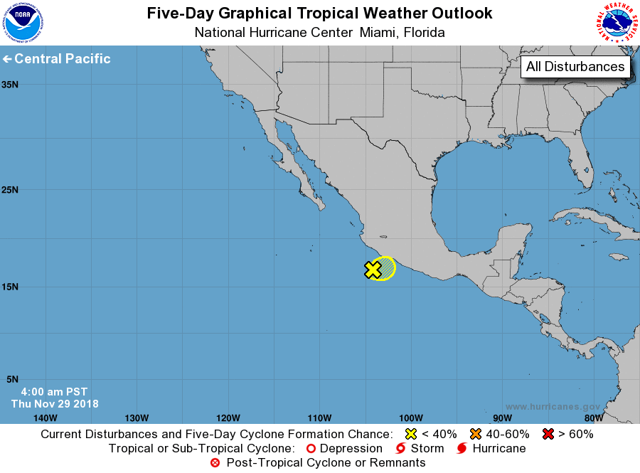
1. Disorganized showers and thunderstorms continue in association with
a well-defined low pressure system centered a little more than 100
miles southwest of Zihuatanejo, Mexico. Although tropical cyclone
formation is not expected due to strong upper-level winds, the
associated shower activity will continue to spread onshore and well
inland over southwestern Mexico into this afternoon. Locally heavy
rainfall and gusty winds will occur over portions of the Mexican
states of Guerrero, Michoacan, Colima and Jalisco, and these rains
could result in life-threatening flash floods and mudslides.
* Formation chance through 48 hours...low...near 0 percent.
* Formation chance through 5 days...low...near 0 percent.
Forecaster Stewart