ZCZC MIATWOEP ALL
TTAA00 KNHC DDHHMM
Tropical Weather Outlook
NWS National Hurricane Center Miami FL
1000 AM PST Wed Nov 28 2018
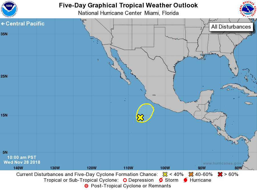
For the eastern North Pacific...east of 140 degrees west longitude:
1. An elongated low pressure system centered about 375 miles
south-southwest of Manzanillo, Mexico, is producing disorganized
showers and thunderstorms. Upper-level winds have continued to
increase, and tropical cyclone formation is becoming less likely.
However, shower activity associated with the disturbance is forecast
to move northeastward toward southwestern Mexico today through
Thursday, bringing locally heavy rainfall and gusty winds to
portions of the Mexican states of Guerrero, Michoacan, Colima and
Jalisco. These rains could result in life-threatening flash floods
and mudslides.
* Formation chance through 48 hours...low...30 percent.
* Formation chance through 5 days...low...30 percent.
Forecaster Stewart