ZCZC MIATWOEP ALL
TTAA00 KNHC DDHHMM
Tropical Weather Outlook
NWS National Hurricane Center Miami FL
400 PM PST Tue Nov 27 2018
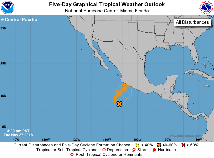
For the eastern North Pacific...east of 140 degrees west longitude:
1. A low pressure area located about 450 miles south-southwest of
Manzanillo, Mexico, has become better defined with more
consolidated thunderstorm activity since yesterday. Although
environmental conditions are only forecast to be marginally
conducive, a tropical depression could form during the next day or
two. The disturbance is forecast to move northward tonight and turn
northeastward toward southwestern Mexico on Wednesday. Regardless of
development, locally heavy rain is possible across portions of
southwestern Mexico beginning tomorrow through Thursday.
* Formation chance through 48 hours...medium...50 percent.
* Formation chance through 5 days...medium...50 percent.
Forecaster Blake