ZCZC MIATWOAT ALL
TTAA00 KNHC DDHHMM
Tropical Weather Outlook
NWS National Hurricane Center Miami FL
100 PM EST Wed Nov 14 2018
For the North Atlantic...Caribbean Sea and the Gulf of Mexico:
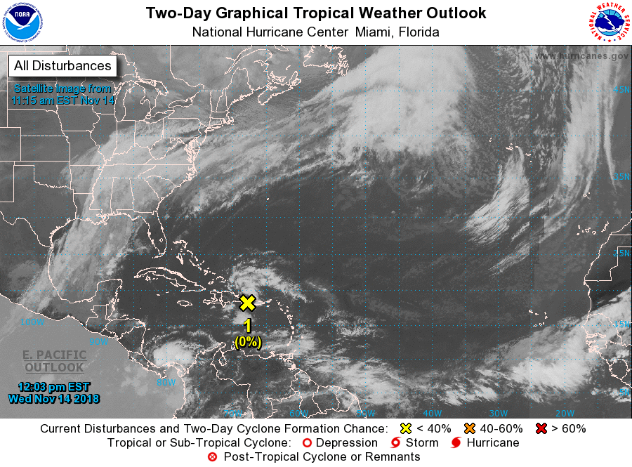
1. A tropical wave interacting with an upper-level low continues to
produce disorganized showers and thunderstorms over portions of the
Virgin Islands, Puerto Rico, Hispaniola, and the adjacent waters.
Development of this system is not expected due to unfavorable
upper-level winds and interaction with islands of the Greater
Antilles. However, locally heavy rainfall will continue over
portions of the Virgin Islands, Puerto Rico, and Hispaniola during
the next day or so as it moves generally west-northwestward. This
rainfall will spread across portions of the Turks and Caicos Islands
and the southeastern Bahamas by Thursday as the system turns
northwestward.
* Formation chance through 48 hours...low...near 0 percent.
* Formation chance through 5 days...low...near 0 percent.
Forecaster Brennan