ZCZC MIATWOAT ALL
TTAA00 KNHC DDHHMM
Tropical Weather Outlook
NWS National Hurricane Center Miami FL
200 PM EDT Tue Oct 16 2018
For the North Atlantic...Caribbean Sea and the Gulf of Mexico:
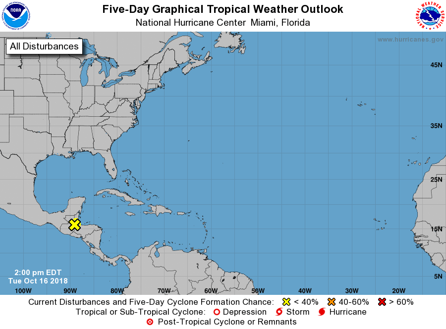
1. A low pressure system that the National Hurricane Center has been
tracking the past few days has now moved inland over southern Belize
and eastern Guatemala. Due to land interaction, tropical cyclone
formation associated with this system is no longer expected in the
Atlantic basin. The southern portion of this disturbance is forecast
to move into the eastern North Pacific by this evening. Gusty winds
will still be possible over portions of Belize and the eastern
Yucatan Peninsula this afternoon and early evening. In addition,
locally heavy rainfall, which could cause flash flooding, is
possible across portions of Central America during the next couple
of days.
* Formation chance through 48 hours...low...near 0 percent.
* Formation chance through 5 days...low...near 0 percent.
Forecaster Stewart