ZCZC MIATWOAT ALL
TTAA00 KNHC DDHHMM
Tropical Weather Outlook
NWS National Hurricane Center Miami FL
200 PM EDT Wed Sep 19 2018
For the North Atlantic...Caribbean Sea and the Gulf of Mexico:
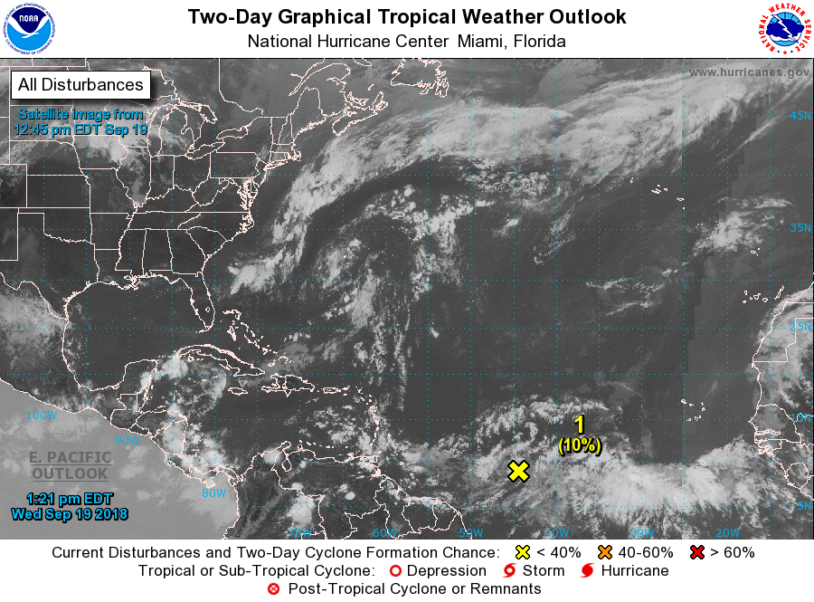
1. Shower activity associated with a tropical wave located about 1000
miles east of the Windward Islands has decreased some this morning.
Further development is becoming less likely since the environment is
becoming unfavorable for tropical cyclone formation.
* Formation chance through 48 hours...low...10 percent.
* Formation chance through 5 days...low...10 percent.
2. A non-tropical low is forecast to form this weekend between Bermuda
and the Azores. After that time, conditions are expected to be
favorable for subtropical or tropical cyclone formation while the
low meanders over the north Atlantic.
* Formation chance through 48 hours...low...near 0 percent.
* Formation chance through 5 days...low...20 percent.
Forecaster Avila