ZCZC MIATWOAT ALL
TTAA00 KNHC DDHHMM
Tropical Weather Outlook
NWS National Hurricane Center Miami FL
800 AM EDT Thu Aug 16 2018
For the North Atlantic...Caribbean Sea and the Gulf of Mexico:
The National Hurricane Center is issuing advisories on Subtropical
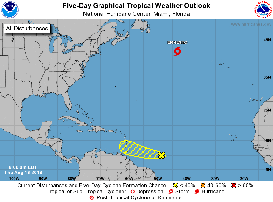
Storm Ernesto located several hundred miles southeast of Cape Race,
Newfoundland.
1. A tropical wave located about 750 miles east-southeast of the
Windward Islands is producing a large area of disorganized
cloudiness and showers. Some gradual development of this system
is possible over the next couple of days while it moves west-
northwestward at 15 to 20 mph toward the Windward Islands. By late
Saturday, unfavorable environmental conditions should limit the
chances for additional development while the system moves over
the eastern Caribbean Sea. Regardless of development, this system is
likely to bring locally heavy rainfall to portions of the Lesser
Antilles during the next few days.
* Formation chance through 48 hours...low...10 percent.
* Formation chance through 5 days...low...20 percent.
Forecaster Brown