ZCZC MIATWOEP ALL
TTAA00 KNHC DDHHMM
Tropical Weather Outlook
NWS National Hurricane Center Miami FL
1100 PM PDT Wed Jun 13 2018
For the eastern North Pacific...east of 140 degrees west longitude:
The National Hurricane Center is issuing advisories on Tropical
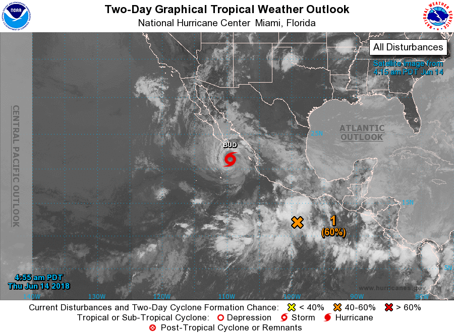
Storm Bud, located a couple of hundred miles south-southeast of the
southern tip of the Baja California peninsula.
1. A low pressure system located a few hundred miles south of Acapulco,
Mexico is producing a large area of disturbed weather, however
satellite data show that the system does not currently have a
well-defined circulation. Environmental conditions are forecast to
be somewhat conducive for additional development and a tropical
depression could form over the next couple of days while the low
moves slowly north-northwestward. Regardless of development, locally
heavy rain causing flash floods and mudslides is possible over the
southern portions of the Mexican states of Guerrero and Oaxaca
beginning tomorrow and continuing into the weekend.
* Formation chance through 48 hours...medium...60 percent.
* Formation chance through 5 days...medium...60 percent.
Forecaster Avila