ZCZC MIATWOAT ALL
TTAA00 KNHC DDHHMM
Tropical Weather Outlook
NWS National Hurricane Center Miami FL
200 PM EDT Wed Jun 13 2018
For the North Atlantic...Caribbean Sea and the Gulf of Mexico:
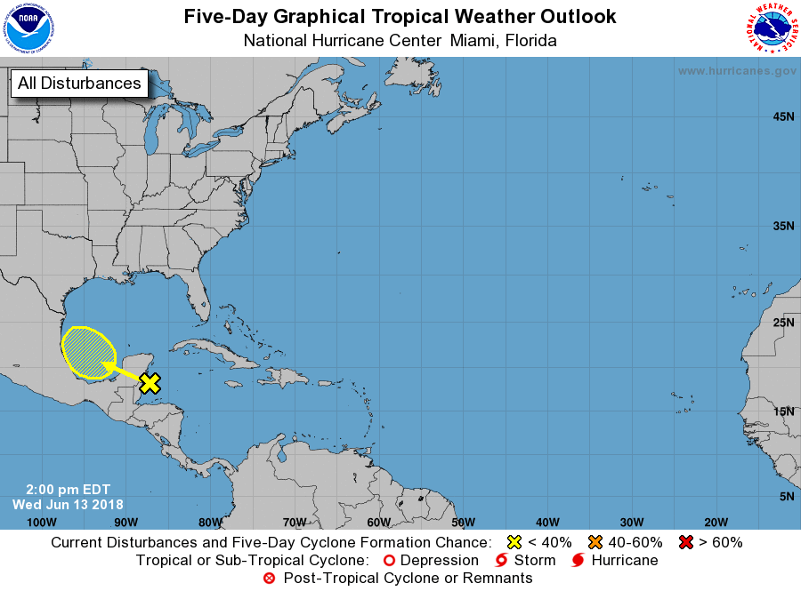
1. Disorganized showers and thunderstorms over the northwestern
Caribbean Sea are associated with a surface trough. This area of
disturbed weather, accompanied by strong gusty winds, is forecast
to move west-northwestward over Belize and the Yucatan Peninsula
later tonight, and move into the southwestern Gulf of Mexico by
Thursday afternoon. No development is expected for the next day or
so due to land interaction with the Yucatan Peninsula and strong
upper-level winds. However, environmental conditions could become
slightly more conducive for some development of this disturbance
while it moves across the southwestern Gulf of Mexico on Friday and
Saturday.
* Formation chance through 48 hours...low...near 0 percent.
* Formation chance through 5 days...low...20 percent.
Forecaster Stewart